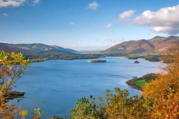
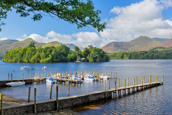
The Lake District is a hiker's playground, with seemingly endless opportunities for outdoor adventures among the lofty peaks, rolling hills and breathtaking bodies of water. Home to England’s tallest mountain and spectacular scenery for as far as the eye can see, the Lakes are a joy to explore, with highly detailed maps, well-marked routes and many adventure centres available.
Whether you’re a seasoned climber or you’re just getting into mountain walking, the sheer volume of hiking trails, fells and summits is almost overwhelming. We’ve tried our hardest to come up with a pretty good starting point for you with this list of the best hiking trails in the Lake District.
- 1
Scafell Pike
A challenging 5-hour climb in the South-Western Fells
- ผจญภัย
- ถ่ายรูป
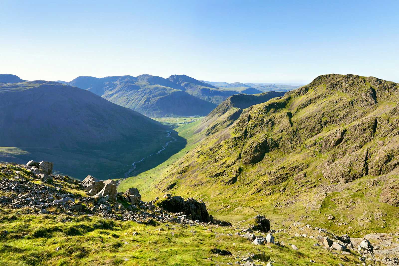
We can’t talk about hiking trails in the Lake District without mentioning England’s highest peak, Scafell Pike. This rugged and steep climb gains a height of 978 metres, earning its place in the UK Three Peaks Challenge, alongside Ben Nevis and Snowdon.
There are a number of routes, some that are nice walks, others that feature grade 1 and 2 scrambles. The most popular route starts at Wasdale Head and gives stunning views of the surrounding valleys (on a good day). For a quieter, longer and more challenging climb, try the Corridor Route, starting at Styhead Tarn and offering superb views of Great End and Broad Crag.
แผนที่ - 2
Helvellyn
A tough 9-hour climb in the Central Fells
- ผจญภัย
- ถ่ายรูป
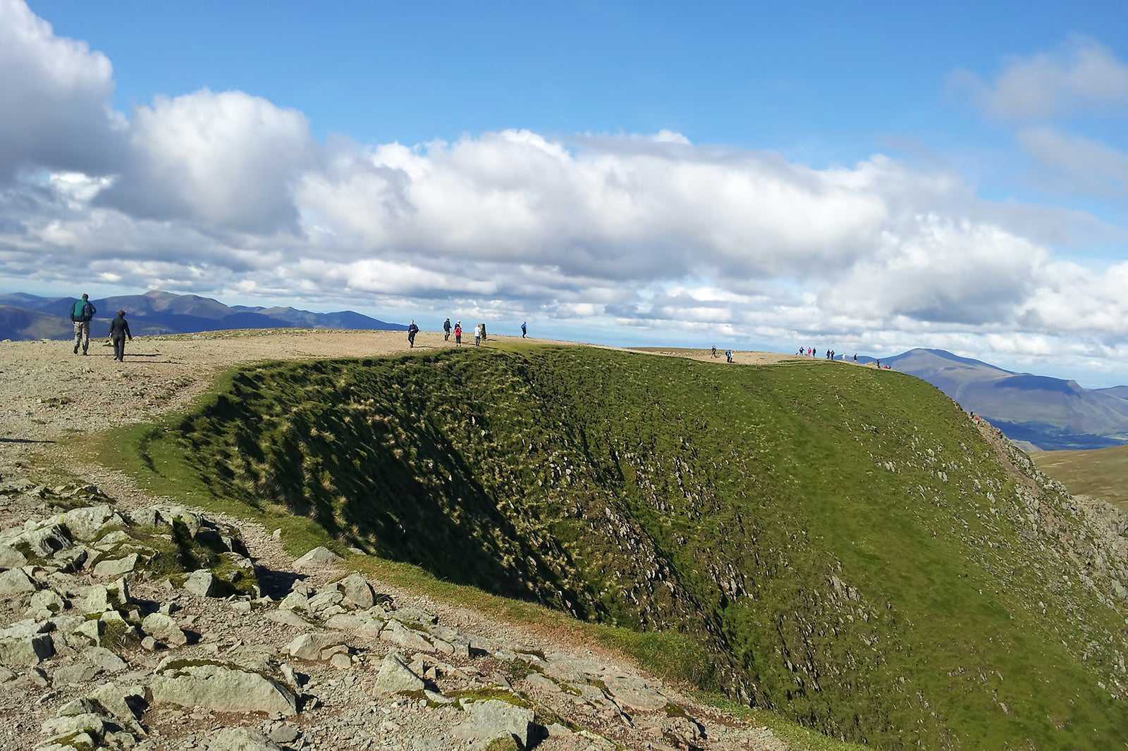
The second highest mountain in the Lakes, Helvellyn is a classic trail, popular with experienced climbers. Starting from Patterdale, you’ll need to be prepared for an 8-mile hike, taking about 9 hours and featuring one of the most renowned scrambles in the area.
You’ll traverse 2 famous ridges along the way – the thrilling Striding Edge (a grade 1 scramble), then Swirral Edge on the descent. From the top of the 590-metre peak, you’ll be rewarded with views of the Eastern Crags overlooking the Red Tarn lake. On a clear day, you can see as far as Scotland to the north and the sea to the east.
แผนที่ - 3
Catbells
An easy 1-hour climb in the Western Fells
- ผจญภัย
- ครอบครัว
- ถ่ายรูป
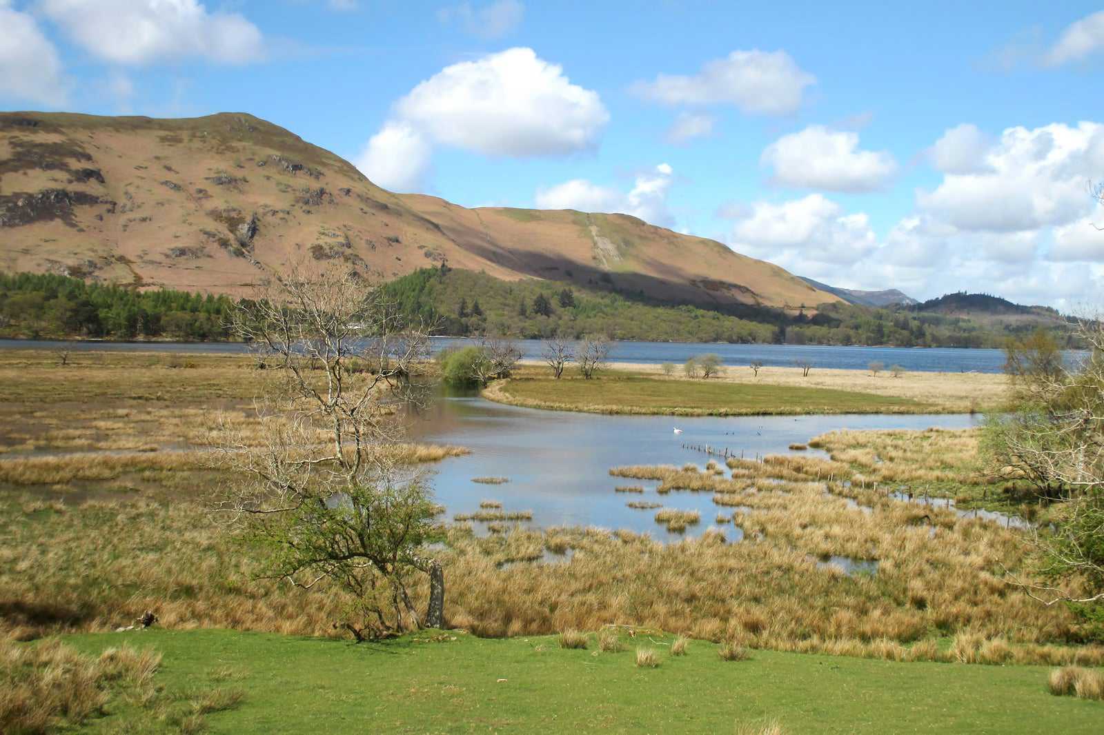
Catbells may only be a small peak, but it’s a firm favourite among walkers of all ages and abilities. For a start, the 451-metre peak overlooks Derwent Water, one of the Lake District’s main bodies of water. Begin your walk at Hawes End and enjoy sublime views of the northern Lakes from the top.
This trail is a great introductory hill for those taking to mountains on foot for the first time. But don’t let that put any of you seasoned climbers off, as the views alone make this route worthwhile, regardless of your ability.
แผนที่ภาพโดย Antiquary (CC BY-SA 4.0) เวอร์ชั่นแก้ไข
- 4
The Buttermere Ridge
A challenging 6.5-hour climb in the Western Fells
- ผจญภัย
- ถ่ายรูป
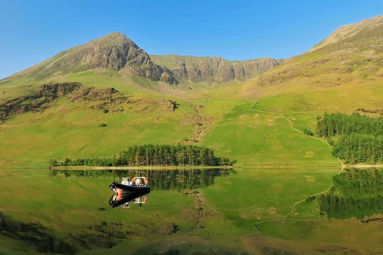
The Buttermere Ridge is a long but manageable circular route with exceptional mountain scenery, best enjoyed on a clear day. Starting from the Dalegarth Campsite on the outskirts of Buttermere, this 12-mile trail features 5 Wainwrights (peaks described by famous fellwalker Alfred Wainwright in his 7-volume guide to the Lake District) along the way, including the 807-metre High Stile, which dominates the landscape.
One of the most anticipated parts of the walk is Red Pike, an excellent craggy ridge. The ridge itself is easy enough to walk along, but the ascent or descent from either end has loose scree and requires some steep climbing. The equally steep Gamlin End descent is another particularly tricky part of this route.
แผนที่ภาพโดย Michael Walsh (CC BY 3.0) เวอร์ชั่นแก้ไข
- 5
High Street
A moderate 4-hour climb in the Far Eastern Fells
- ผจญภัย
- ถ่ายรูป
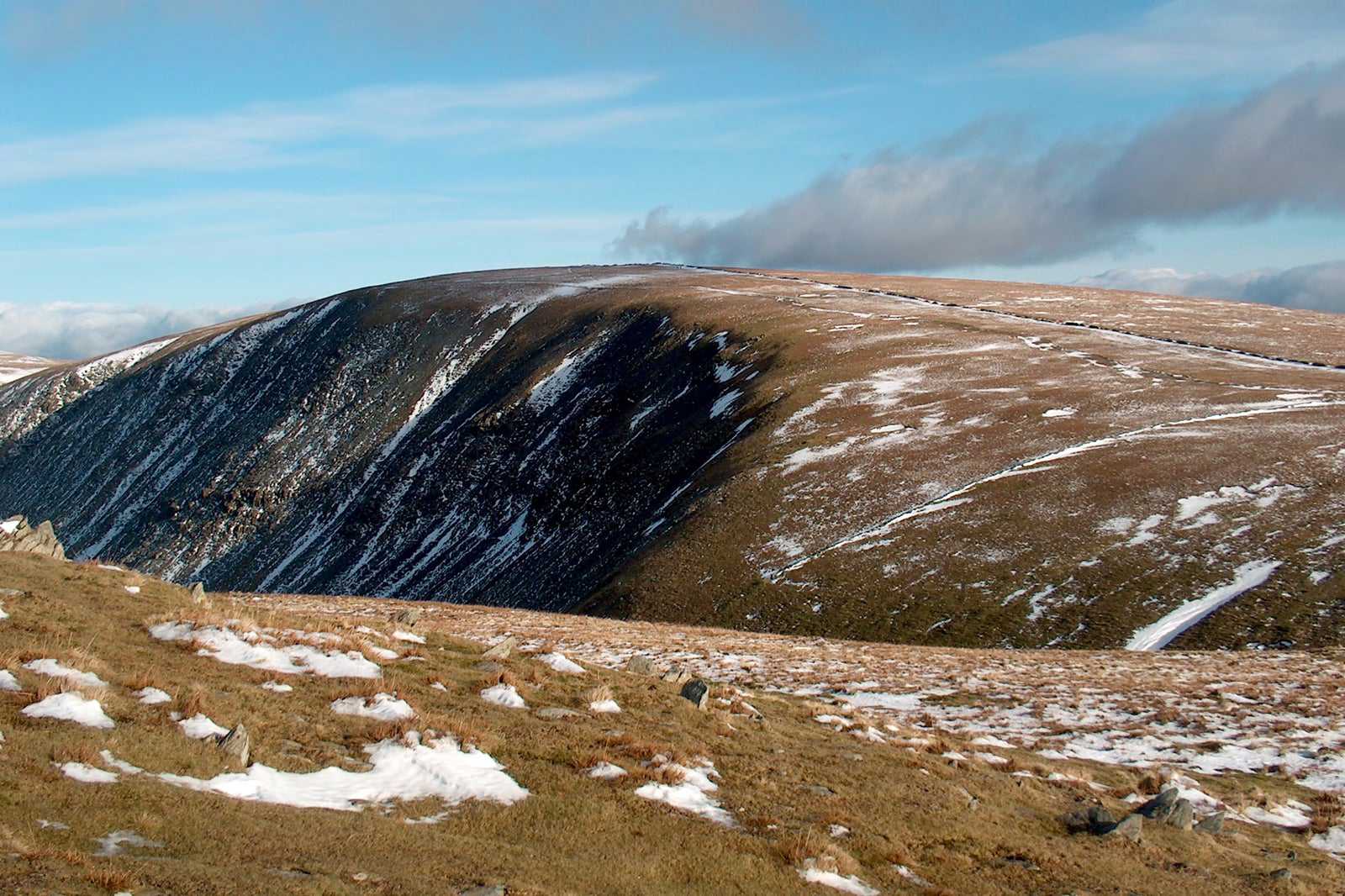
An unusual name for a Lake District peak, you might think, but High Street actually takes its name from the 2,000-year-old Roman road that crosses through it. Also known as Racecourse Hill, the 8-mile route requires good visibility in order to follow the necessary landmarks (and take in the surrounding scenery).
The expansive 828-metre-high summit is where locals from the sunken village of Mardale Green used to hold an annual festival, featuring horse racing. The same horses would be used to carry provisions and alcohol up the hill. Start the walk from Mardale Head, at the end of Haweswater Reservoir.
แผนที่ภาพโดย Bill Boaden (CC BY-SA 2.0) เวอร์ชั่นแก้ไข
- 6
The Langdale Pikes
A tough 3.5-hour climb in the Central Fells
- ผจญภัย
- ถ่ายรูป
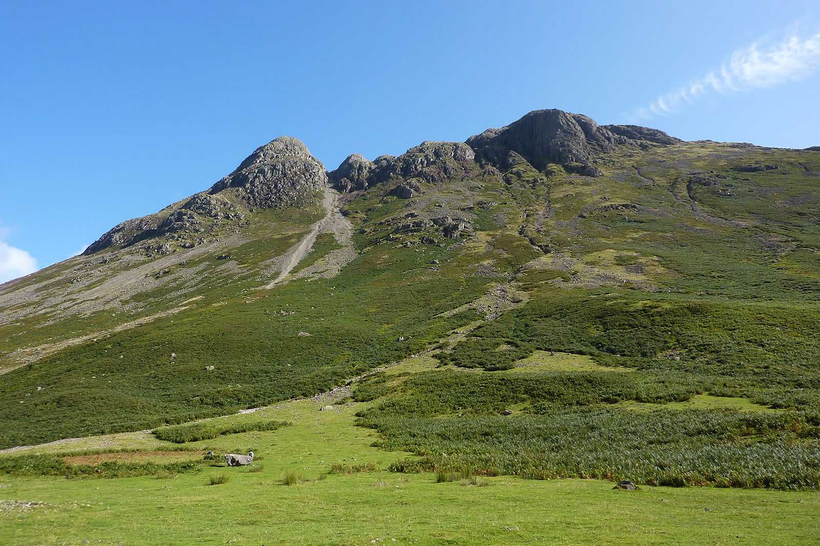
No Lake District trail list would be complete without featuring the Langdale Pikes, a set of peaks whose silhouette is visible from all around. The challenging and rugged terrain makes the varying routes a favourite among experienced climbers, looking to put their skills to the test while taking in the sights of the breathtaking Langdale Valley.
Setting off from New Dungeon Ghyll Hotel in Langdale, you can start with a grade 1 scramble up Jack’s Rake, Pavey Ark’s craggy face. Alternatively, avoid the scramble on either Easy Gully or North Rake, then continue on to Harrison Stickle, Pike O’Stickle and Loft Crag.
แผนที่ภาพโดย Andrew Bowden (CC BY-SA 2.0) เวอร์ชั่นแก้ไข
- 7
The Kentmere Horseshoe
A challenging 6-hour climb in the Far Eastern Fells
- ผจญภัย
- ถ่ายรูป
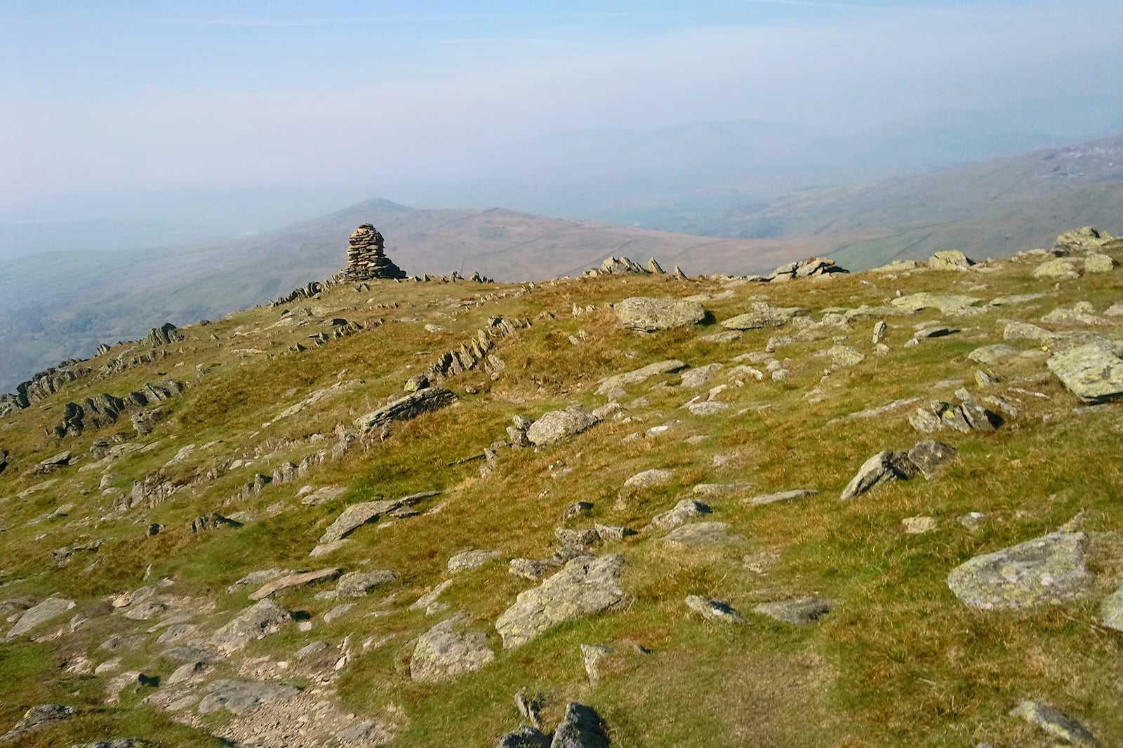
The Kentmere Horseshoe is one of the longest and most peaceful walks in the Lake District, tucked into the south-eastern edge of the national park. The less-trodden route is awash with remote countryside and takes in no fewer than 8 Wainwrights along the way, with the option of adding even more! The highest one in the chain is the High Street, at 828 metres.
People love this route for its spectacular ridge walking. You’ll cover about 13.5 miles of ground as you go, surrounded by undulating fells and outstanding valley views. Start your journey from the village hall in Kentmere.
แผนที่ภาพโดย jim walton (CC BY 3.0) เวอร์ชั่นแก้ไข
- 8
The Old Man of Coniston
An easy 3-hour climb in the Southern Fells
- ผจญภัย
- ถ่ายรูป
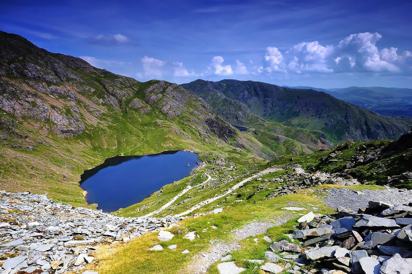
The Old Man of Coniston is one of the all-time Lake District classics. There are a number of different routes up the peak, so you can choose the right one for you, depending on your time restrictions and ability.
Starting from the village of Coniston, most people choose to take the direct path to the 803-metre summit. However, bear in mind that the fact that it’s shorter means it’s actually a much steeper route than others. For something longer, but a little more scenic, opt for The Cove and Goat’s Water route around the back. It’s 7 miles, as opposed to 3, but much more gradual and boasts unbeatable views of Dow Crag over Goat’s Water.
แผนที่ - 9
Whitbarrow Scar and Lord’s Seat
An easy 3-hour climb in the North Western Fells
- ผจญภัย
- ถ่ายรูป
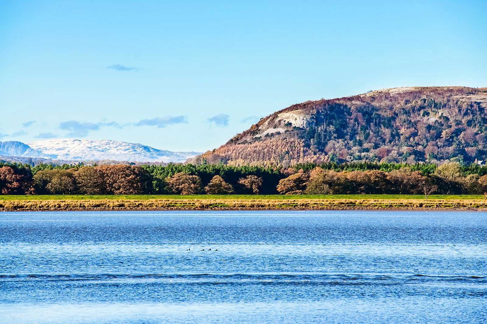
Starting from the village of Mill Side, this circular route will take you along Whitbarrow Scar and to the top of Lord’s Seat, at 215 metres. The terrain along the scar is rough and wild with a dramatic sheer drop off the ridge, but the paths are relatively easy to follow.
From along the top, you can admire the surrounding fell scenery and the views right the way over to Morecambe Bay in the south. You’ll hike approximately 6.5 miles in total, leading through charming woodland when you come down from the scar at the end, and passing by Witherslack Hall.
แผนที่ - 10
Blencathra, Sharp Edge and Hall’s Fell Ridge
A tough 3-hour climb in the Northern Fells
- ผจญภัย
- ถ่ายรูป
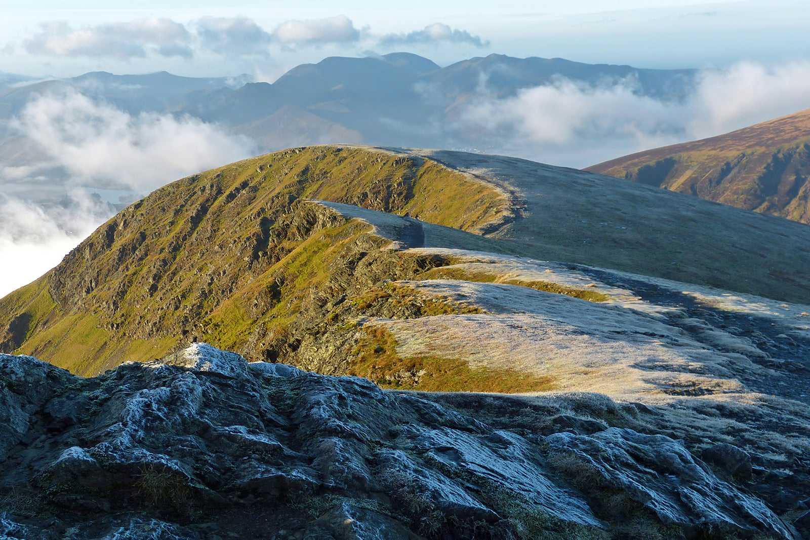
The mighty Blencathra is one of the most northern peaks in the Lake District. There are multiple routes up there, with some incredible ridge walks at the top, but it’s possible to fit 2 of the best into a single 6-or-so-mile walk to remember.
Sharp Edge is one of the most famous ridges in the country. It’s not overly technical, but it’s classed as a grade 1 scramble and you certainly need a head for heights while you’re on there. You’ll emerge victorious on Blencathra’s 868-metre summit, before taking on the adrenaline-pumping Hall’s Fell Ridge on your descent. Start your climb from Scales Farm in Threlkeld.
แผนที่
